Innovative Land Surveying Techniques
Covering a greater area using low cost UAVs.
Dr Jonathan Byrne
Urban Modelling Group
3D Surveying Services
Ireland
Traditional GIS Mapping
Nadir(Vertical) Photogrammetry
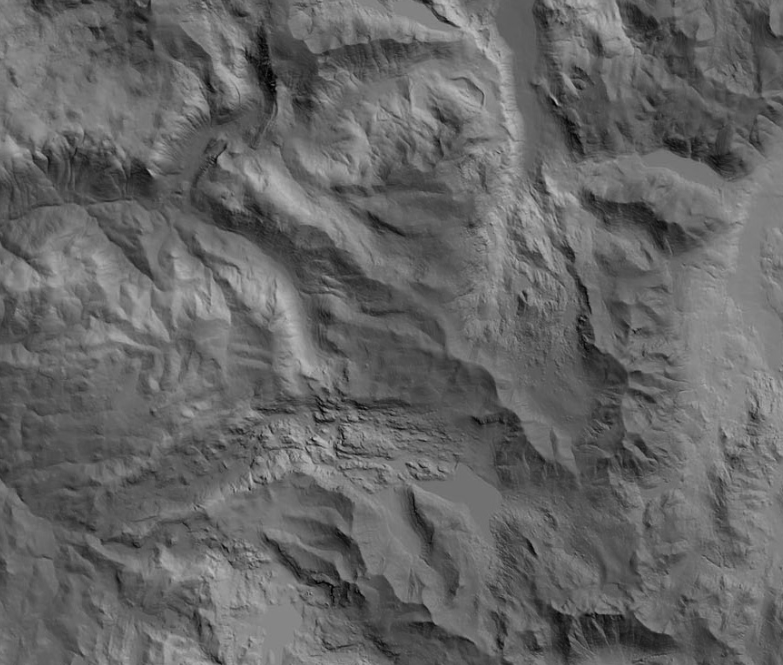
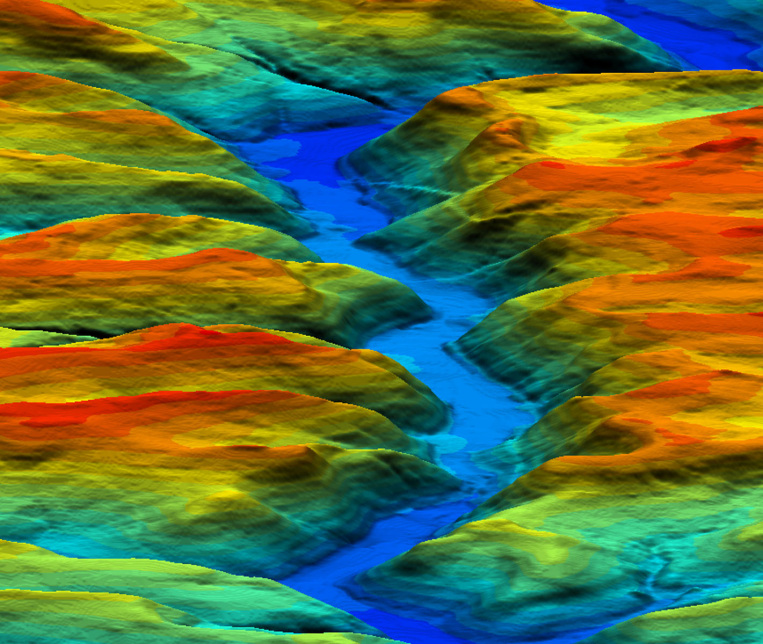
Digital Elevation Model (DEM)
Urban Modelling Group
link
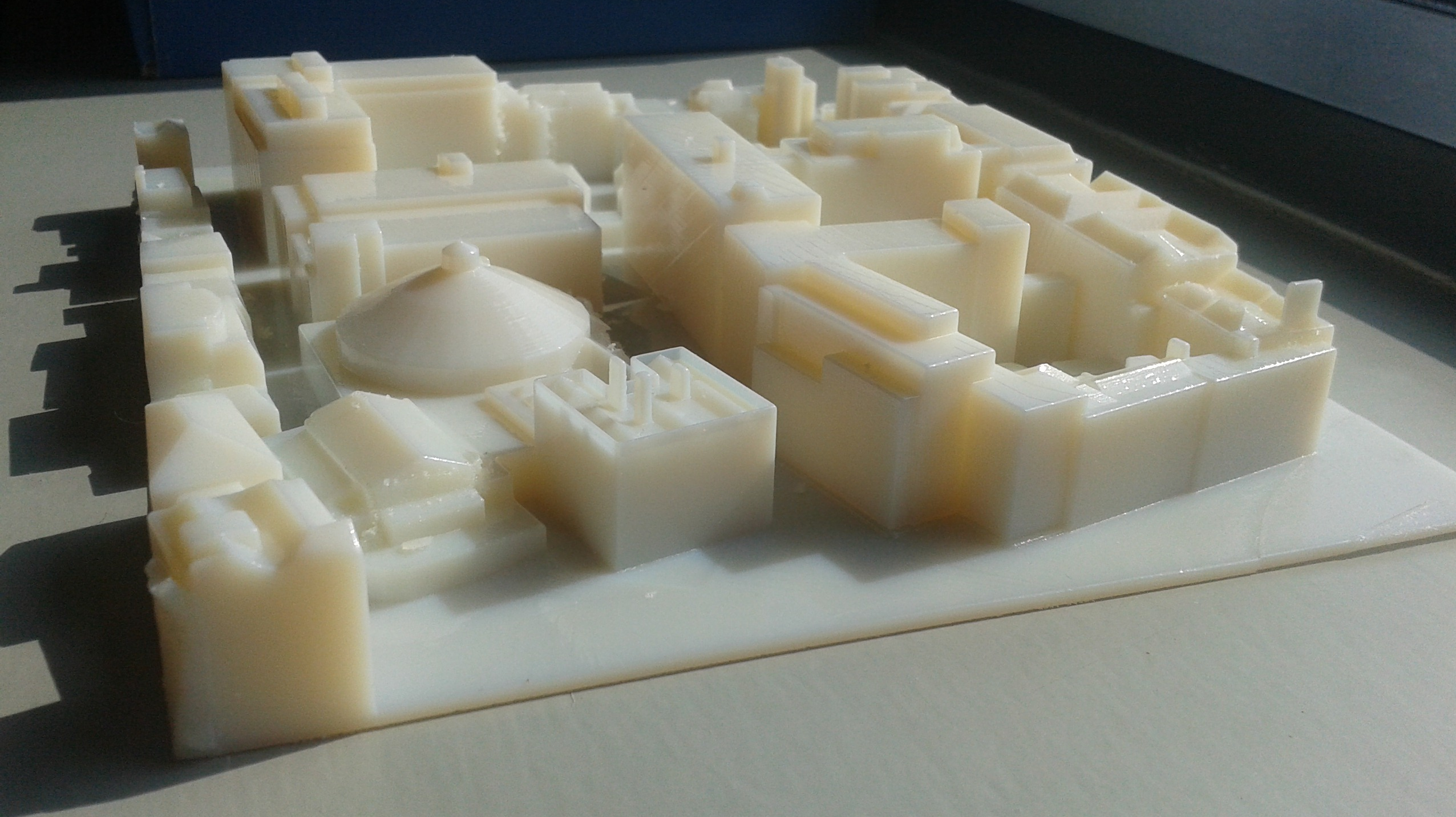
Structural Analysis
Wind Tunnel Modelling
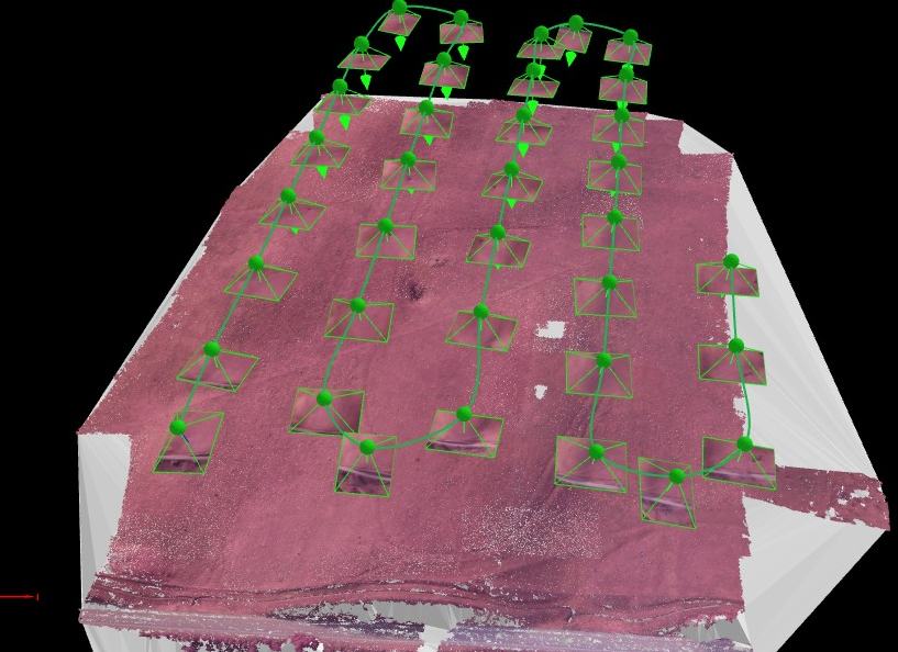
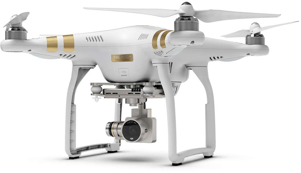
UAV Mapping
Structure From Motion
link
Scanning Applications
link
Advantages:
- Low cost
- Capture multiple angles
- Ease of data capture
- Centimetre accurate models
- Real-time feedback
Disadvantages:
- Limited range
- Limited battery life
- Legal restrictions
Kilmacredock Survey
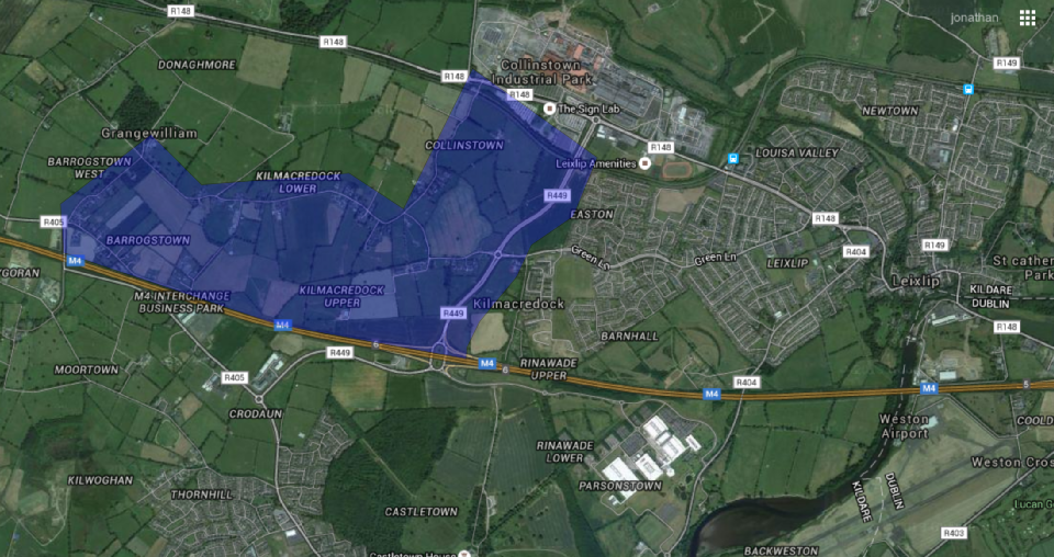
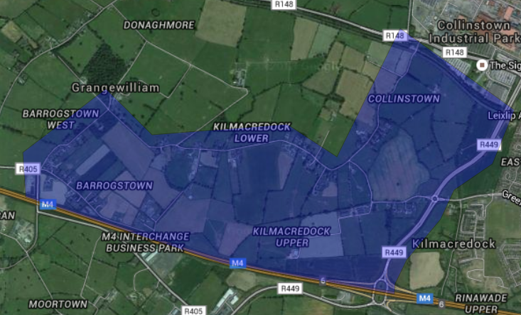
Area: 3.03 km², 749.79 acres, 303.43 hectares
Vertical vs Oblique
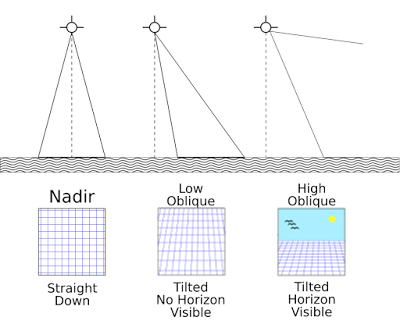
Vertical
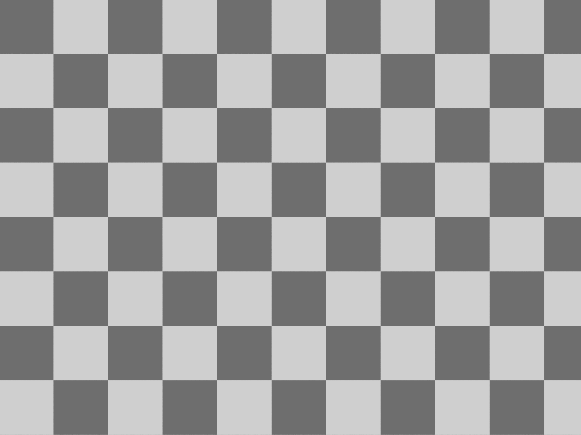
2.2 Hectares
30 Degree Oblique
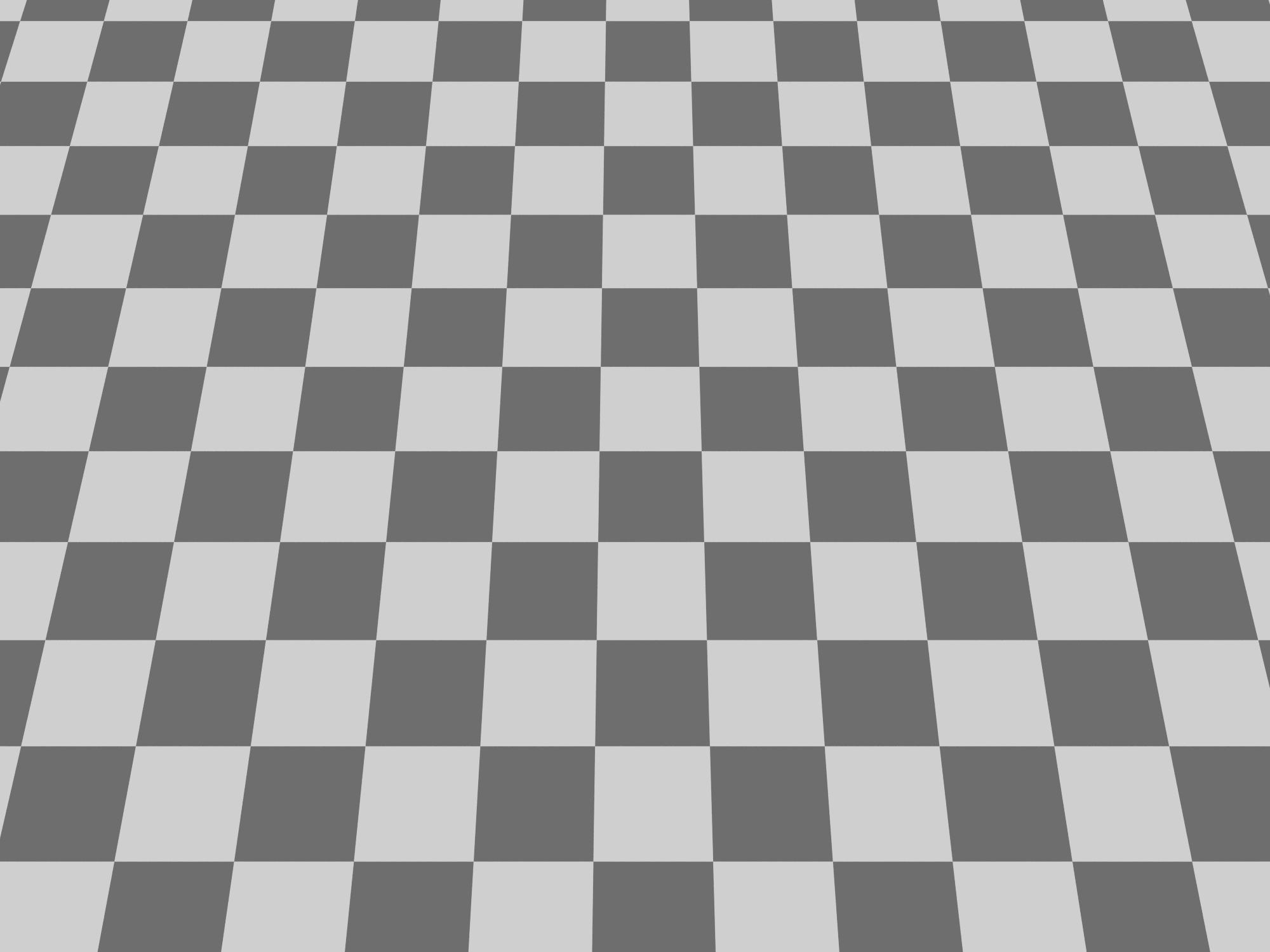
4.6 Hectares
40 Degree Oblique
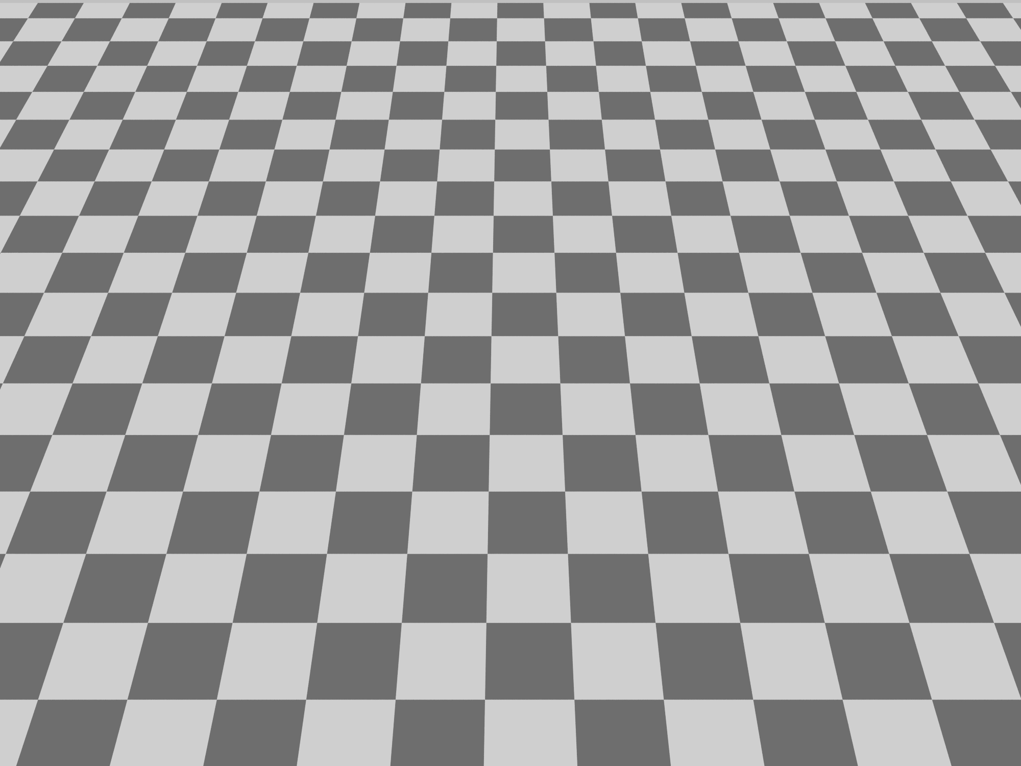
10 Hectares
Results:
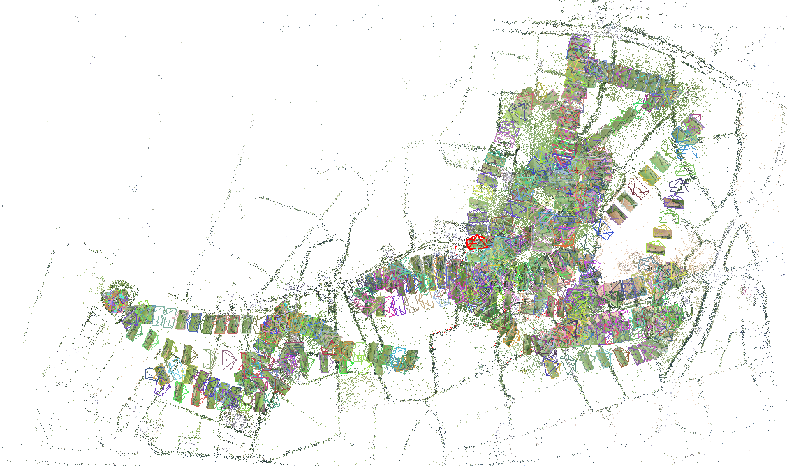
3D Model
link
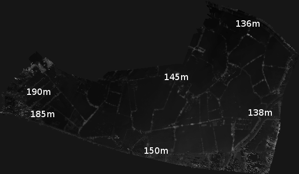
Digital Elevation Model
Accuracy:
- Model accuracy at 100 meters: 5 centimeters
- Model accuracy at 50 meters: 2 centimeters
- Georeference accuracy with GPS: approx 1 meter
- Georeference accuracy with RTK: approx 2 cm
Conclusions:
- Oblique image data can be used with SFM
- A much greater area can be captured with a quadcopter
- Geo-referenced and orthomosaic output from model
Future Work:
- Coordinated UAV scanning
- Prespecified and marked GCP
- Simultaneous Localisation and Mapping
- Improvements in Structure From Motion algorithm
Thanks
umg.ucd.ie
3dsurveyingservices.ie